DETECT · PRIORITIZE · EXPLORE
Karst survey is no longer left to chance
KarstPro prioritizes your surveys with a morphometric score. A QGIS plugin that turns LiDAR into georeferenced field targets — sinkholes and shafts — reproducible, free of exploration bias. Available in France and, now, in Spain (experimental).
The problem
Days of GIS work per massif
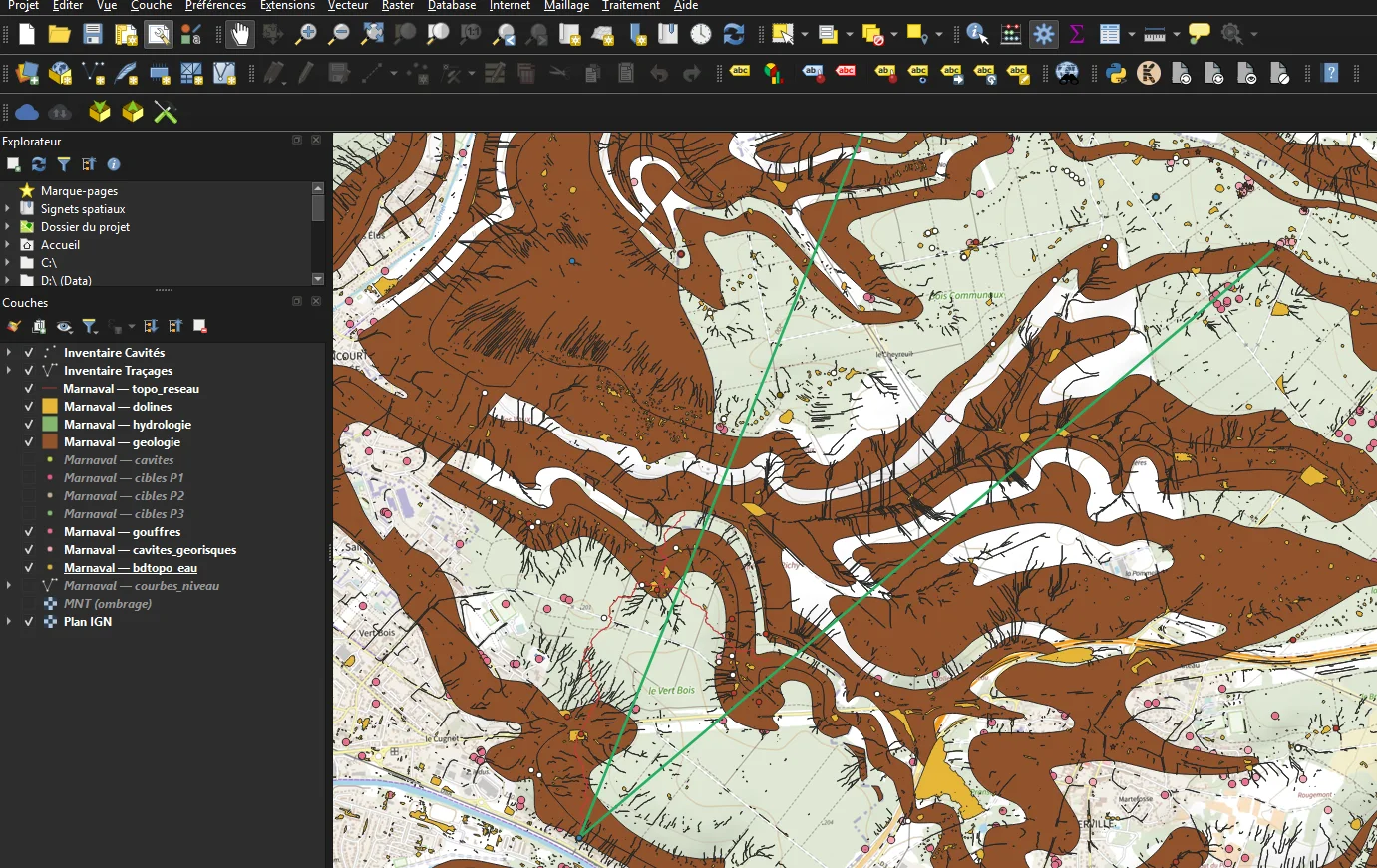
National LiDAR now covers almost all of France at 1 point/m², but turning a raw point cloud into field targets stays manual and tedious.
01Slow
Download, cleaning, detection, vectorization — repeated by hand for every sector.
02Biased
Cavers return to areas they already know. Untouched sectors stay out of sight, not out of interest.
03Not reproducible
Two operators, two results. Comparing massifs to each other is nearly impossible.
The pipeline
Six automated steps, 5 minutes
From raw point cloud to a GeoPackage ready for QField. Public sources cross-referenced automatically — no account, no API key. The pipeline adapts to the chosen country : France (IGN, BRGM) or Spain (CNIG, IGME) — same output, same tools.
LiDAR acquisition
COPC LAZ via IGN API (France) or PNOA 1 m tiles (Spain, 5 m WCS DTM fallback), automatic retry on network error.
1 m DEM
Ground-class filtering (LAS 2), TIN interpolation → 1 m raster.
Sinkholes & shafts
Wang & Liu sink filling + D8 flow for sinkholes; vertical shaft detection by void signature (NODATA), filtered against buildings and water (BD Topo in France, SIOSE in Spain).
Vectorization
Depth from DEM difference, 1 m threshold, 12 morphometric attributes, altitude auto-read from the DEM.
Scoring
Score out of 100 (8 components), BRGM geology (France) or IGME (Spain), three-point dip estimate.
Field export
QField project, Garmin GPX, referenced water points, AI prompt with geocoding and dye-tracing injected.
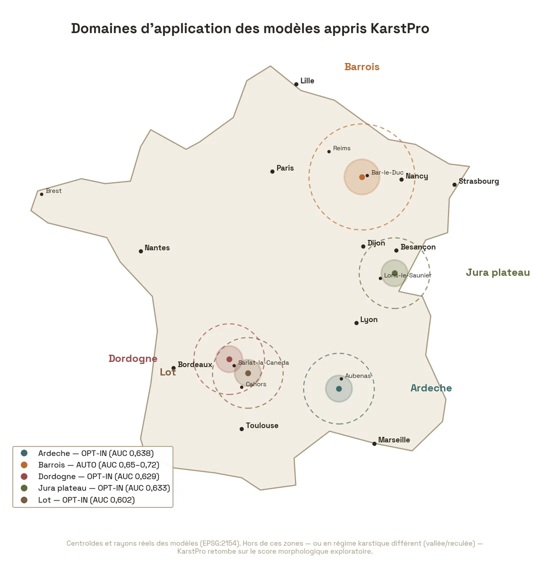
Automatic prioritization by learned model, validated out-of-sample : Barrois applied by default (AUC 0.65–0.72 vs. 0.57 for manual weights), and four regional opt-in models — Jura plateau, Lot, Dordogne, Ardèche (AUC 0.60–0.64), France only. A multi-model router picks the domain from local geology ; outside a validated domain (or in Spain), it falls back to the manual score — never a silent model application. A "Diagnose a model" tool empirically checks, against your own known caves, whether a model fits a given commune — without ever activating it on its own. The score is still computed purely from LiDAR and geology, never from proximity to a known network : an untouched massif scores just as well as a well-known one.
Field & AI
From desk to field, friction-free
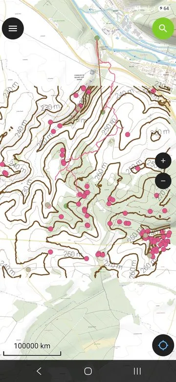
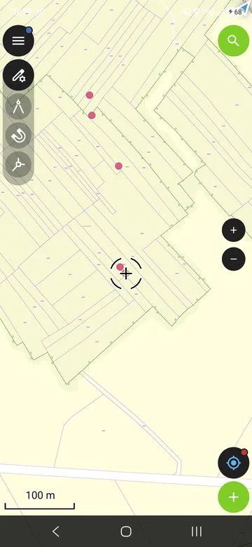
- Ready-to-use QField project — symbology by priority (P1 red, P2 orange), data-entry forms, built-in GPS.
- GPX waypoints — compatible with Garmin, OruxMaps, CalTopo, with score and depth in the description.
- AI survey plan — structured prompt (clusters, morphometry, dip, dye-tracing) to paste into Claude, ChatGPT or Gemini. Returns : prioritized targets by day, ordered GPX, Word report.
- Field return → inventory — finds (caves, targets, visited shafts) are exported as CSV with photos and altitude, importable into Karst Entry, which deduplicates. PDF sheet per discovery.
- Survey memory — re-preparing a study no longer loses field verdicts: targets with no interest are archived, already-visited or already-known ones are removed from the to-do.
- Redo a study — replays an existing preparation with the same parameters (useful after a processing update), no re-entry, and without losing field verdicts already recorded.
Limitations