DETECT · PRIORITIZE · EXPLORE · INVENTORY
The full cycle of
karst survey
Two complementary, free QGIS plugins for the caving community : from raw LiDAR point clouds to a structured inventory of your caves.


The cycle
Desk → field → desk → inventory
Each step is covered by a tool. Data flows without re-entry : what you validate on the field enriches the inventory, and the inventory guides the next surveys.
Detect
HD LiDAR → 1 m DEM → sinkholes and shafts vectorized with 12 morphometric attributes.
KARSTPROPrioritize
Morphometric score + geology. Learned model on validated domains.
KARSTPROExplore
Ready-to-use QField project, GPX waypoints, AI-generated survey plan.
KARSTPROInventory
Field finds (caves, targets, shafts) exported as CSV with photos and altitude, imported into the inventory. PDF sheet per cave.
KARST ENTRYCapitalize
Inventory and dye-tracing fed back into the next analyses — the cycle restarts, richer each time.
KARST ENTRYThe tools
Two plugins, standalone and complementary
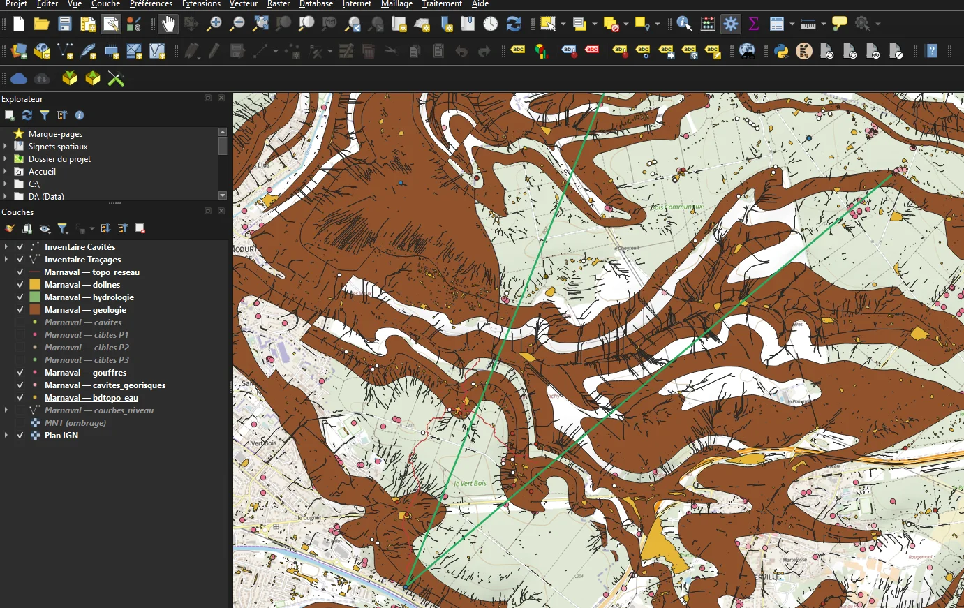

Turns HD LiDAR into georeferenced field targets. Sinkhole detection, morphometric scoring, automatic prioritization, QField export and AI prompt.
See the product page →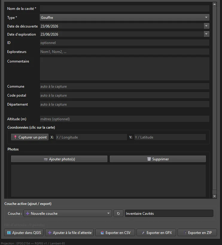

Structured entry of caves and hydrological dye-tracing. Persistent GeoPackage, automatic reverse-geocoding, portable photos, filtered views.
See the product page →The synergy
Your data works twice
Karst Entry → KarstPro
Your Cave Inventory is read by KarstPro and preferred over Géorisques data. Your sink → spring dye-tracing is automatically injected into the AI analysis prompt.
KarstPro → Karst Entry
Back from the field, finds (QField) are exported as CSV — caves, targets and visited shafts, with photos and altitude — then imported into Karst Entry, which deduplicates automatically. KarstPro detects, Karst Entry inventories.
On stage
The plugins in action
A full walkthrough of the workflow at a CoSci conference hosted by the French Federation of Speleology (FFS): from LiDAR acquisition to field survey. In French, with visuals that speak for themselves.